


Crete is the largest and most populous island in Greece and the fifth largest in the Mediterranean, after Sicily, Sardinia, Cyprus and Corsica.
Crete, with a population of 650,000 across the prefectures of Chania, Rethimno, Heraklion, and Lasithi, is one of Greece's 13 regions. It holds the distinction of being the largest island in Greece and the second-largest in the Eastern Mediterranean, following only Cyprus.
Crete's proximity to Europe, Africa, and Asia is striking, and the islands of Kithira, Antikithira, Kasos, Karpathos, and Rhodes appear as if they were once linked to Crete, creating a natural bridge from the Peloponnese and Asia Minor. The Cretan Sea separates Crete from the Greek peninsula and the Cyclades, while the Libyan Sea separates it from Africa.
Crete is surrounded by numerous islets, some of which were once connected to the main island, while others emerged from the sea. Among these, Gavdos stands as the farthest island from Crete, situated directly across from the African peninsula of Cyrenaica in Libya.
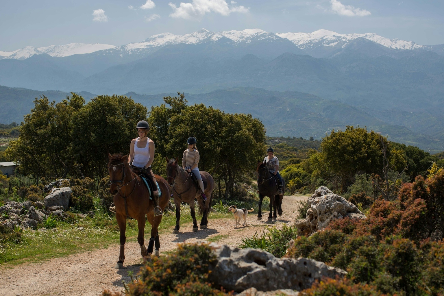
At the heart of the mountain range that defines Crete's landscape, Psiloritis (Ida) stands prominently with the island's highest peak, reaching 2,456 metres in elevation. Yet, the most imposing massif is Lefka Ori, located in the western part of the island.
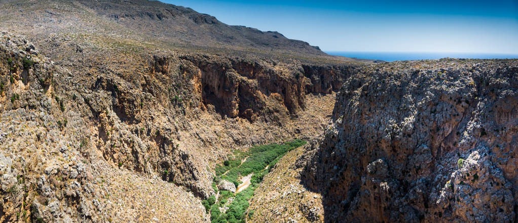
These steep cliffs rise dramatically from the depths of the sea along the south coast, extending to a mountainous desert covering an area of 100 square kilometres. This region boasts more than 50 peaks surpassing an altitude of 2,000 metres, with Pachnes reigning as the highest at 2,453 metres.
Merely 10 kilometres to the north, the landscape undergoes a remarkable transformation, unfolding into lush olive groves and vineyards that gently stretch towards the sea.
The space between the sea and the mountains is quite limited, resulting in the absence of expansive plains. Approximately 39% of the island's terrain rises above an altitude of 400 metres, with a narrow strip of fertile land and low hills tracing the northern coast.
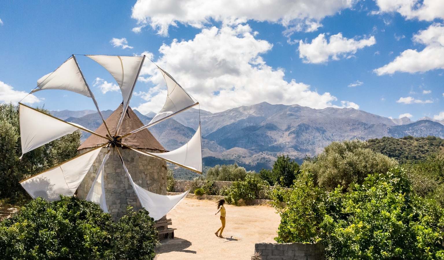
To the east of Psiloritis, one encounters the fertile valleys of the Heraklion prefecture, which extend until they meet the Dikti massif in the east, crowned by its highest peak at 2,146 metres. Moving to the southern and central regions of the island, you'll find Crete's largest plain, the Messara plain, sheltered by the low yet rugged mountain range of Asterousia to the south.
The eastern tip of Crete is defined by the Sitian Mountains, a low massif characterised by sparse vegetation, with its untamed expanse oriented towards the west, along the slopes of Thripti, on the isthmus of Ierapetra.
All three major mountain ranges feature fertile plateaus, with the most renowned among them being Omalos in Lefka Ori, Nida in Psiloritis, and Lasithi in Dikti.
Photo: By Bruno135 Via create.vista