


Hike the Distance from Livadia to Kato Asites!
ABOUT
The Livadia-Ano Asites route, spanning 45 kilometres, offers a challenging two-day journey tailored for experienced climbers.
1st day
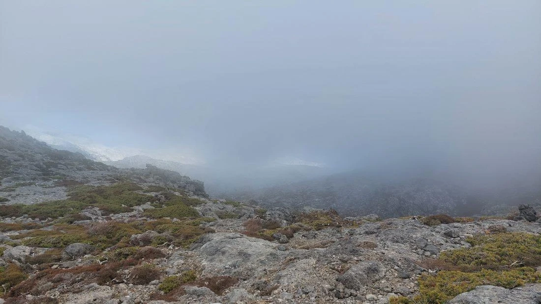
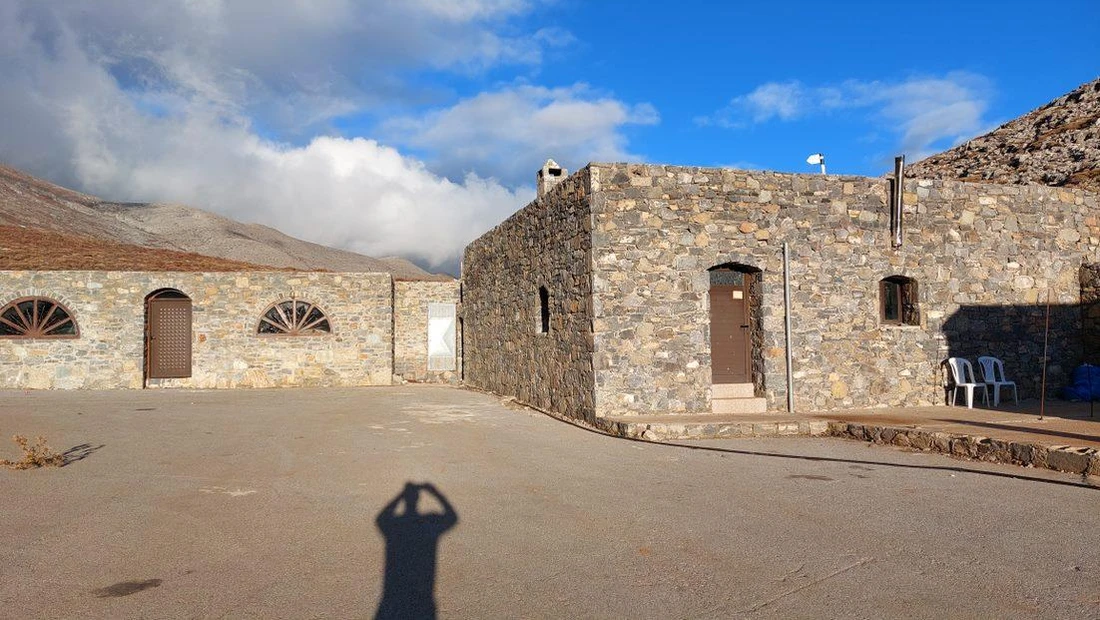
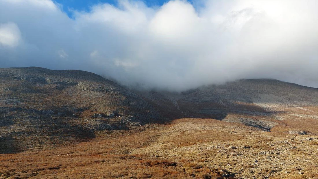
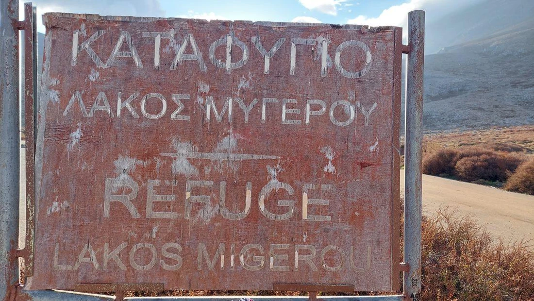
On the first day, departing from Livadia, we commence the ascent on an uphill asphalt road that leads us to Lakkos Mygerou at an elevation of 1,600 metres. The route is challenging and steep, and after approximately 3 hours of hiking, we arrive at Lakkos Mygerou, where the refuge is situated.
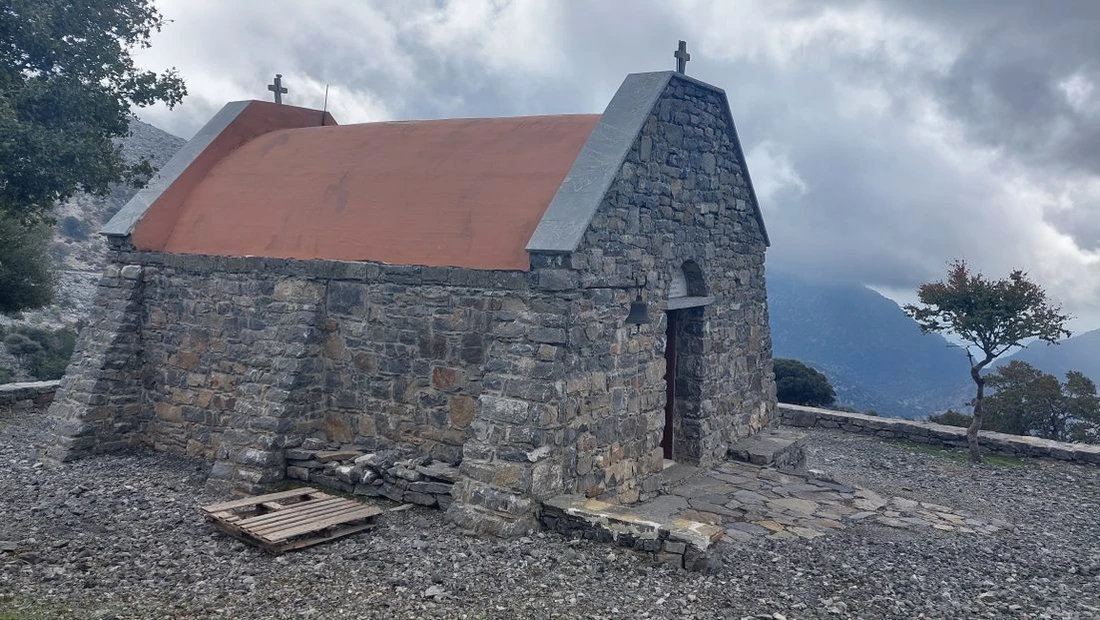
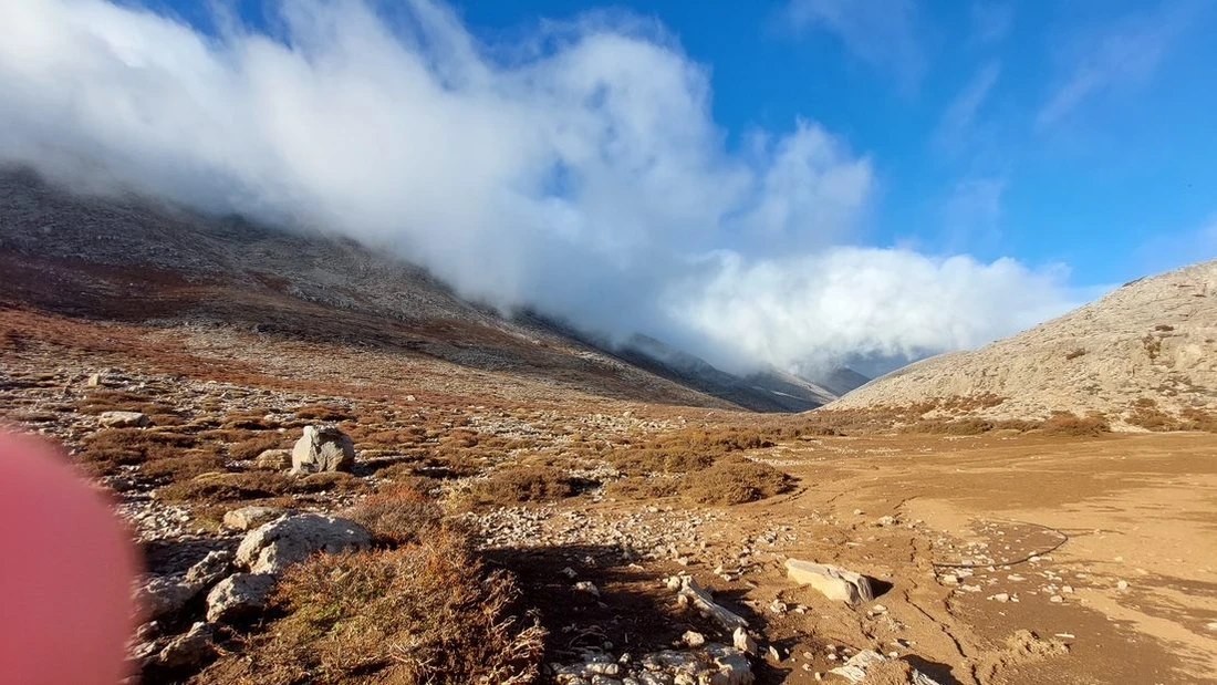
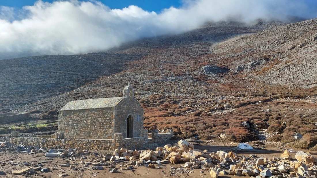
From this point, the 6.5-kilometre trail to the summit of Timios Stavros (Holy Cross) begins. In the middle of the route, it intersects with the E4 path, which originates from Nida and leads to the chapel at an altitude of 2,456 metres.
In recent years, on the north side of the mountain, specifically in the Livadiotiko Aori area, a remarkably beautiful and well-designed hiking trail known as ‘the Strata of Psiloritis’ has been created. This trail commences from the Lakkos Mygerou plateau at an altitude of 1,580 metres and offers the shortest route to ascend to the summit of Timios Stavros. The path is properly marked and a significant portion of it is paved with stone slabs, providing hikers with a delightful and enjoyable ascent experience.
2nd day
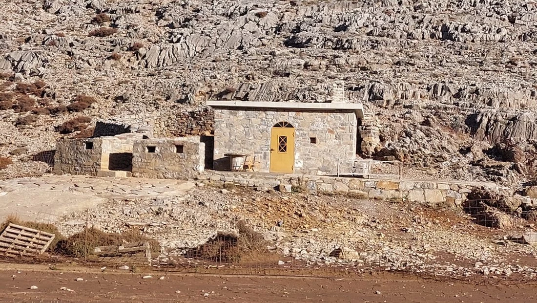
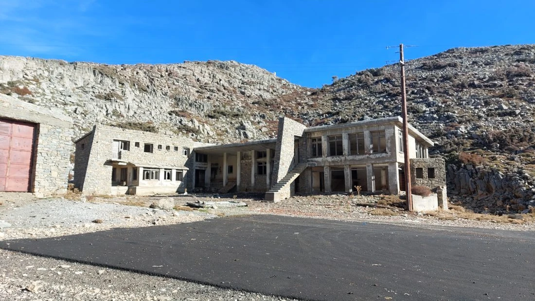
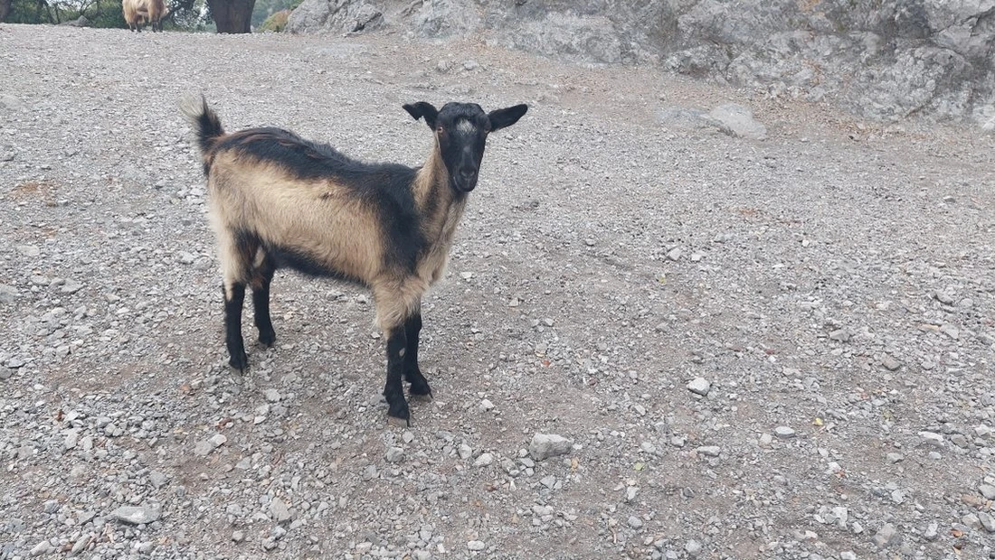
On the second day, the journey extends from Lakkos Mygerou to Kato Asites, spanning a distance of 23 kilometres. At this point, we follow a path that is not particularly well marked, so it's important to exercise caution. Continuing eastward for approximately 2 kilometres, we encounter some shepherd's huts known as ‘mitata’, which are often open during the summer when shepherds graze their sheep in the area. Ultimately, we arrive at the ski resort.
Following the ski resort, we continue along the road towards the Skinakas Observatory.
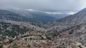
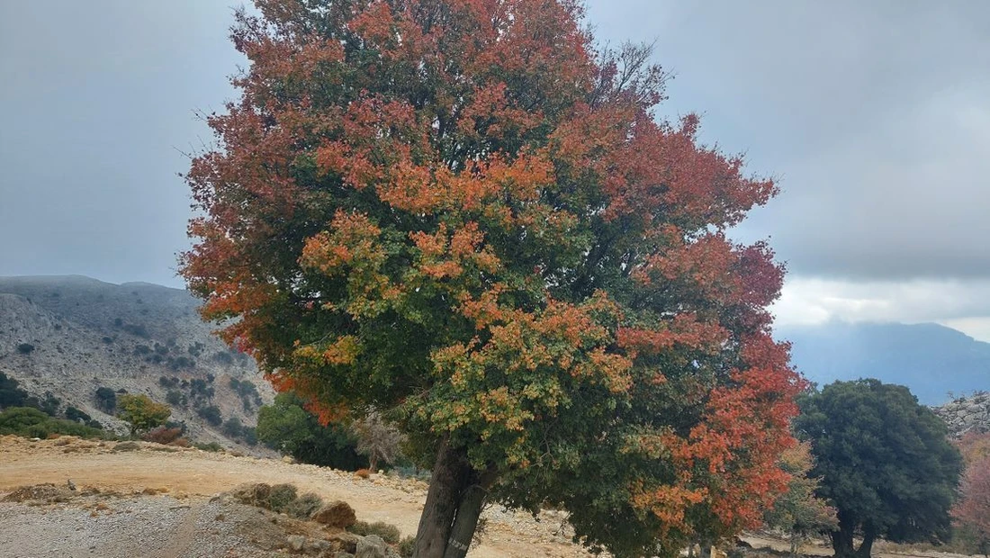
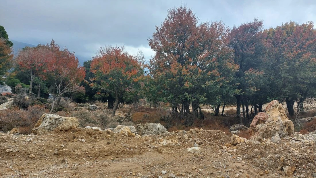
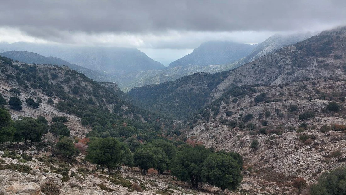
As we continue along the dirt road, we enter the Rouvas forest.
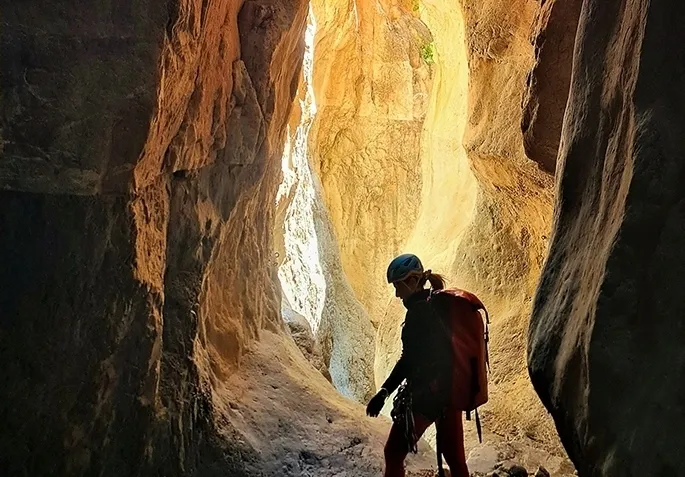
Alternatively, from the forest, you can descend into the 4-kilometre-long Rouvas Gorge and eventually arrive at the village of Zaros, where overnight accommodation is available. Just before reaching Diplori, the trail ascends and leads to the saddle of the Giristi peak. By following the E4 trail markers, you'll reach the refuge of the mountaineering club of Heraklion in Asites.
After travelling 2 kilometres through the gorge, you'll arrive at Ano Asites and then proceed to Kato Asites. In Kato Asites, you have the option to find accommodation.


Nearby
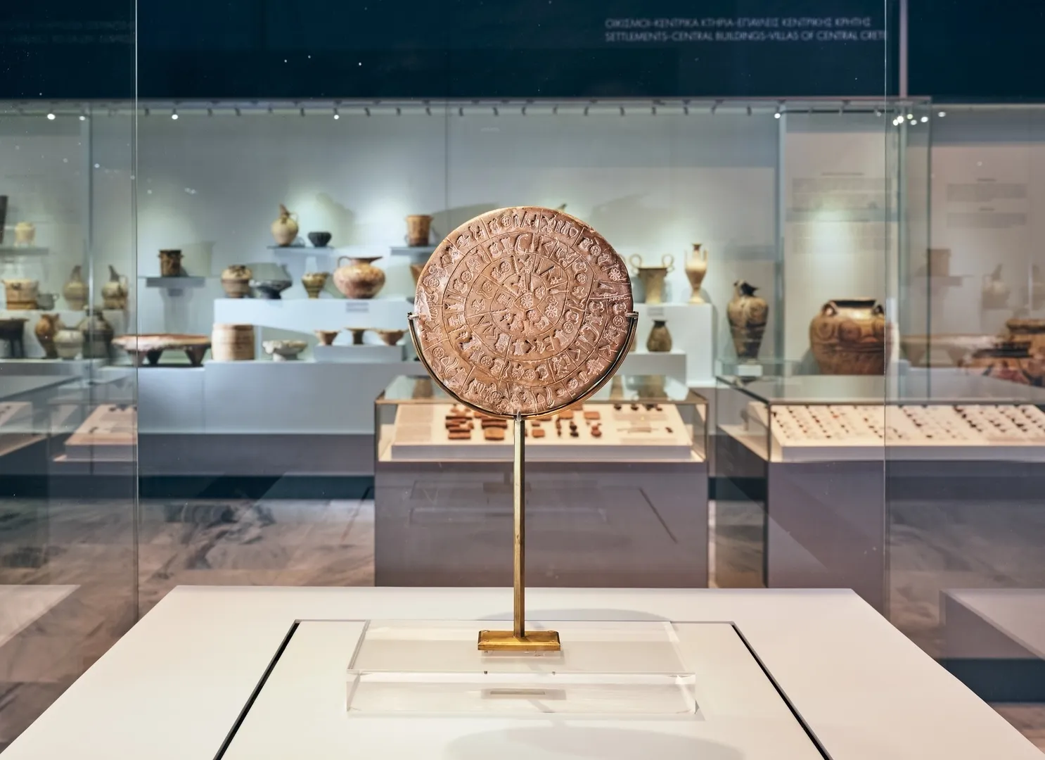
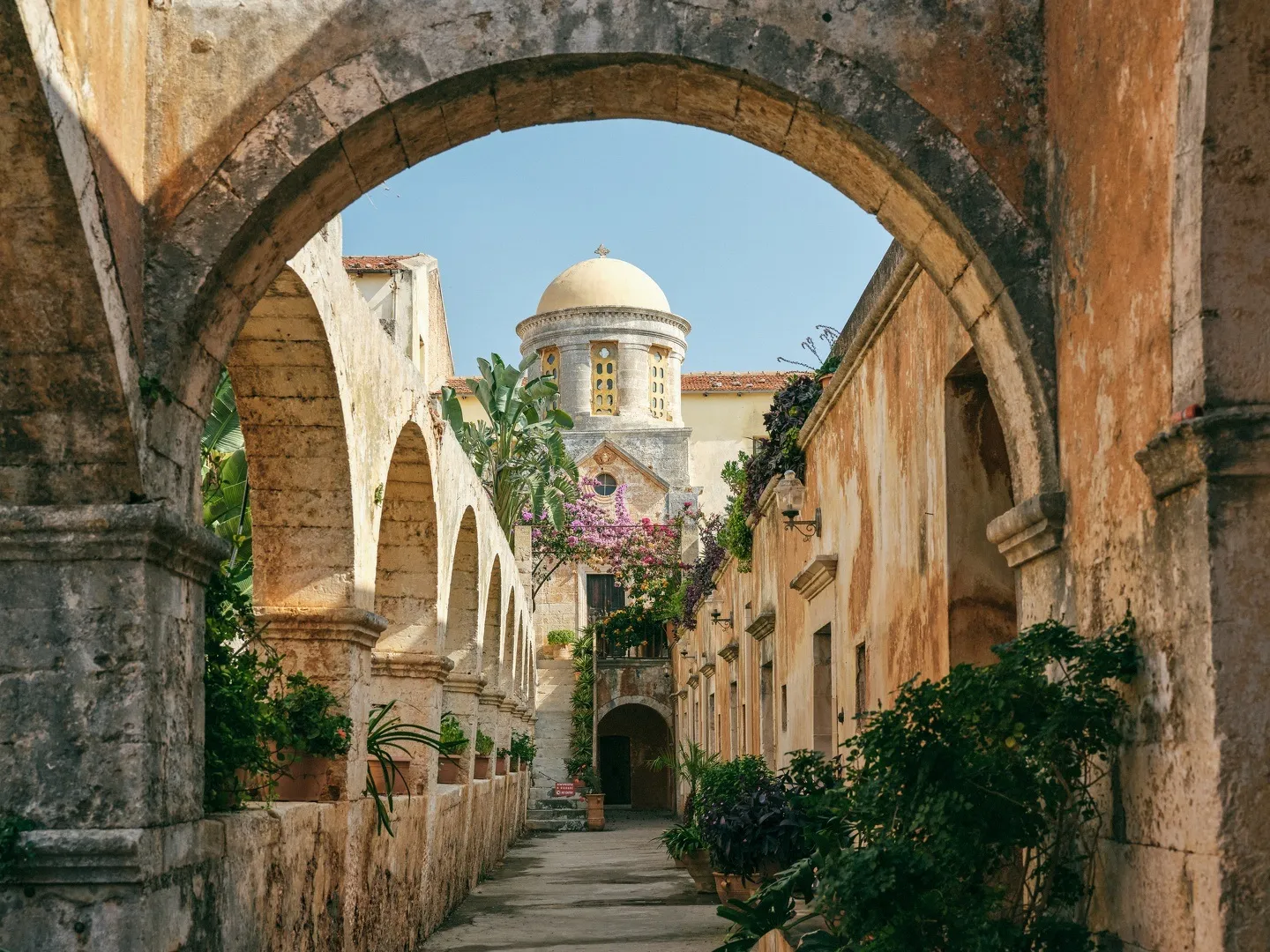
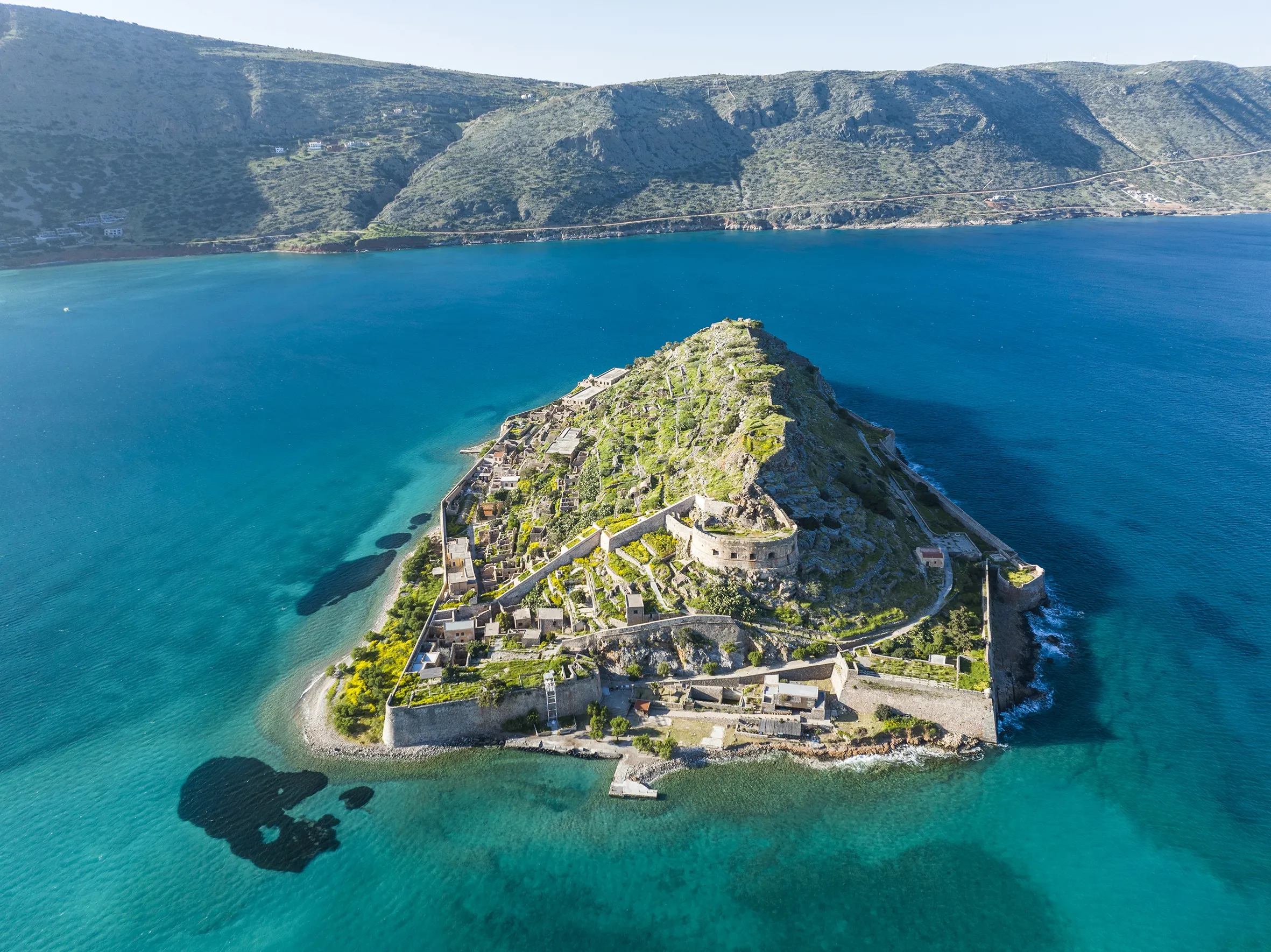
Things to do


Nearby
Food
& drinks